

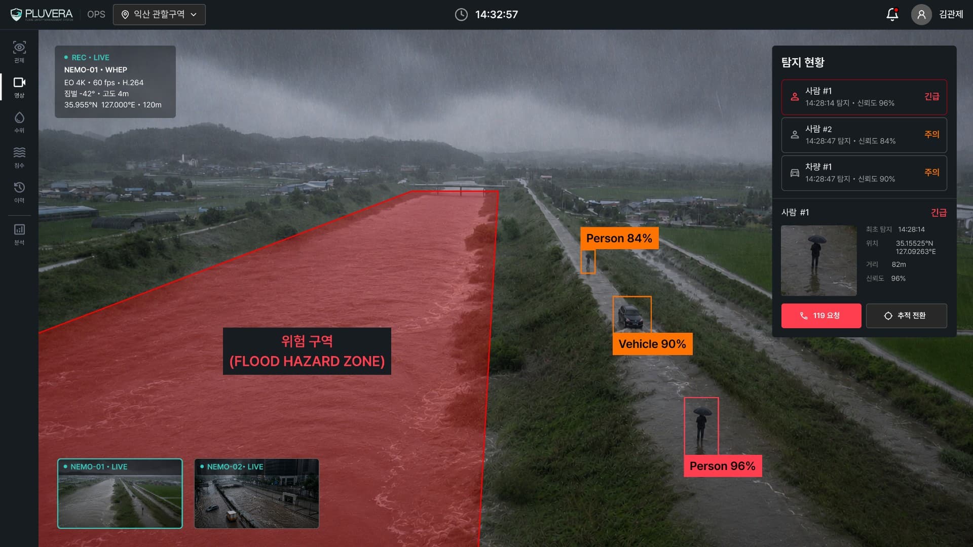
The Problem
The Limits of Conventional Flood Response
Even with dozens of cameras,
blind spots remain
blind spots remain
Multiple sites are hard
to monitor at once
to monitor at once
Finding people across a wide flood zone
takes too long
takes too long
Our Solution
One Drone. Water Levels Measured, People Found.
How It Works
The Flood Response Sequence
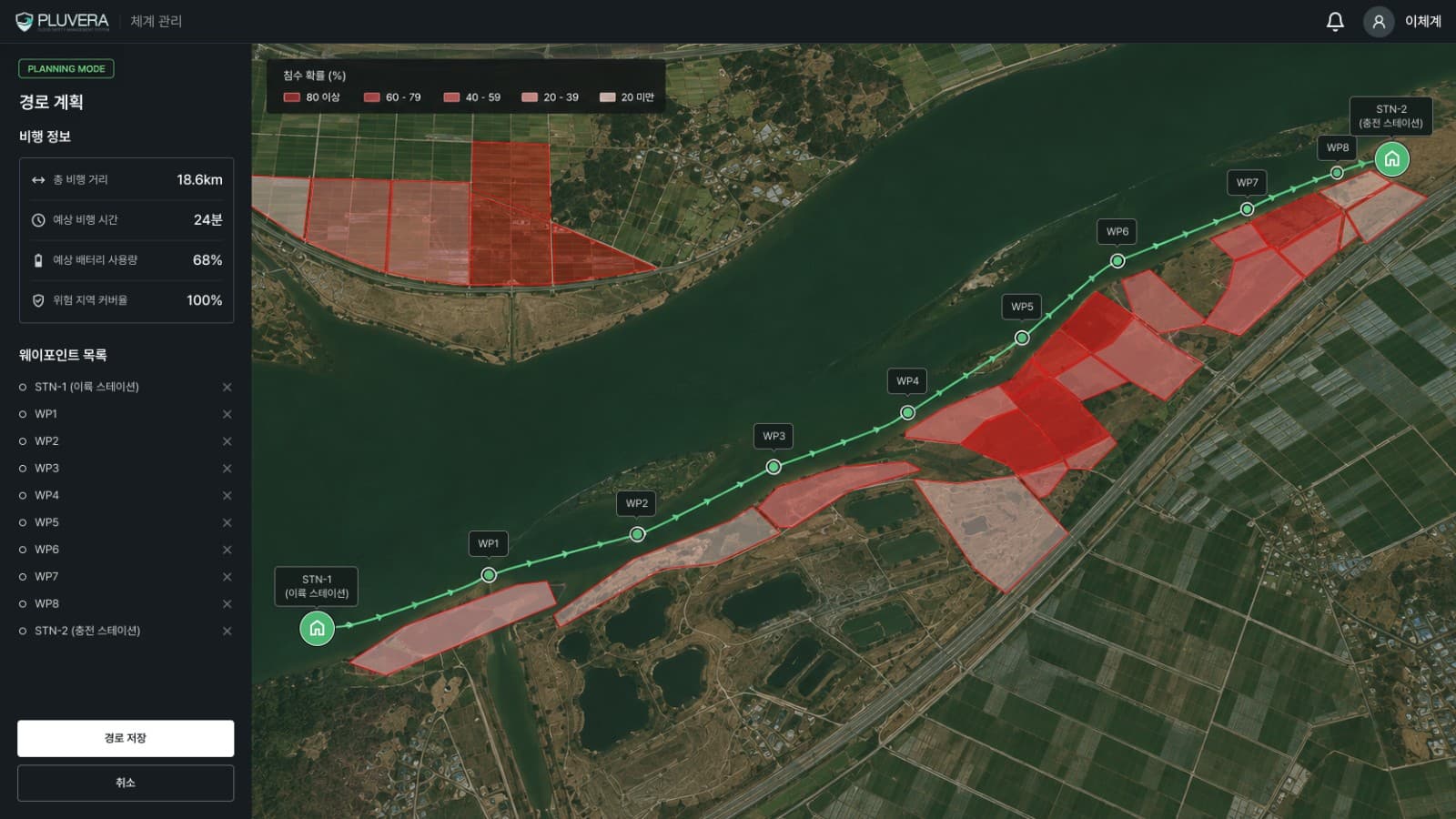
Rain-Triggered Patrol Cycle
TakeoffMeasureReturnCharge
Core Features
Key System Capabilities
Multi-Drone OperationControl multiple drones
at the same time.
Flood Probability ForecastPredicts flood likelihood in unmeasured zones from historical data.
Water Level Monitoring & AlertsMonitors levels per site in real time and issues tiered alerts as thresholds are crossed.
Video AnalyticsAutomatically detects people and
objects in live footage.
Search & Agency AlertingLocates people in distress and relays the information to responding agencies.
Zones & Operation LogsDefine zones and flight paths, with
every operation recorded.
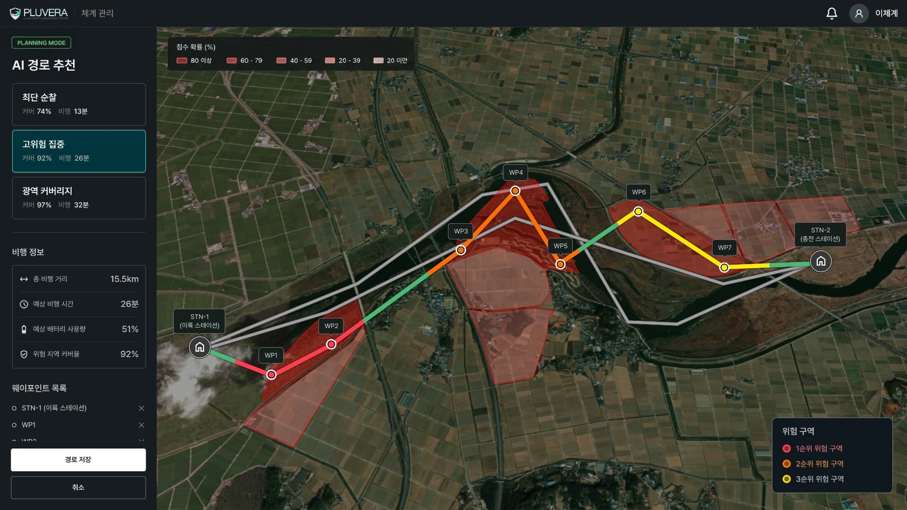
AI Planning
Flood Risk Prediction & Route Recommendation
AI analyzes historical flood data to recommend patrol routes matched to your objectives.
Benefits
What You Gain
Faster First ResponseDetects sudden water level changes in real time,
cutting the time it takes to respond.
Reduced Staffing BurdenAutomated patrol and monitoring keep sites covered
without staff standing by.
Lower CostsOne or two drones replace entire camera networks, reducing both setup and operating costs.
Auditable RecordsPatrol, detection, and notification history is logged and analyzed for reporting and audits.
Applications
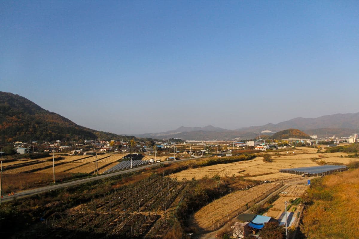
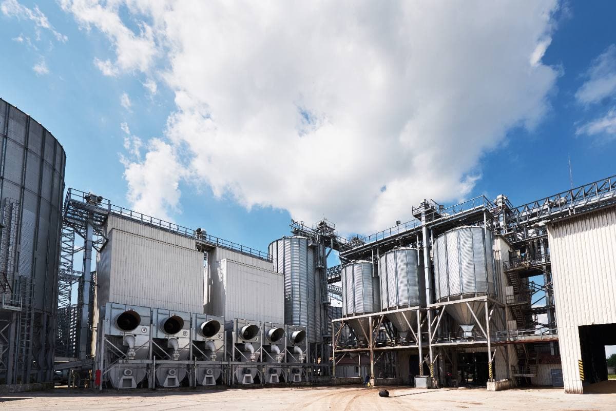
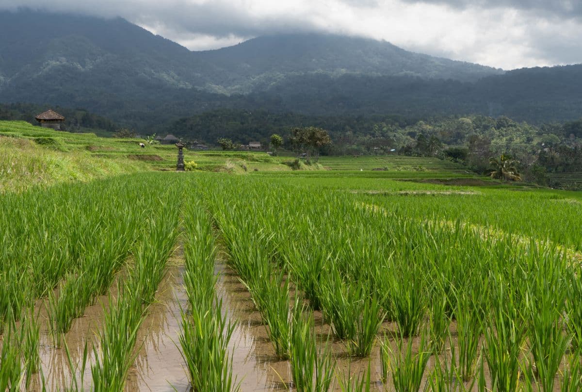
Where It's Used
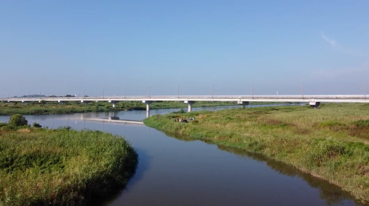


Hardware
Unmanned Operations Hardware
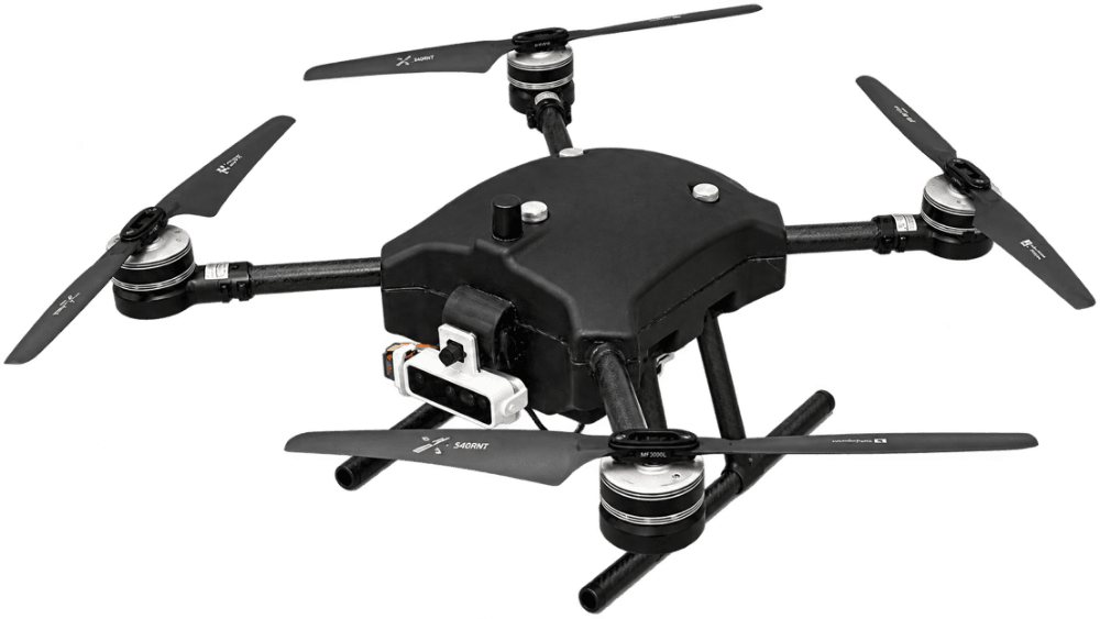
Waterproof Autonomous DroneMeasures water levels and streams live video in rain
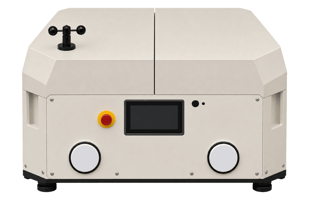
Drone StationUnmanned base for automated takeoff, landing, and charging
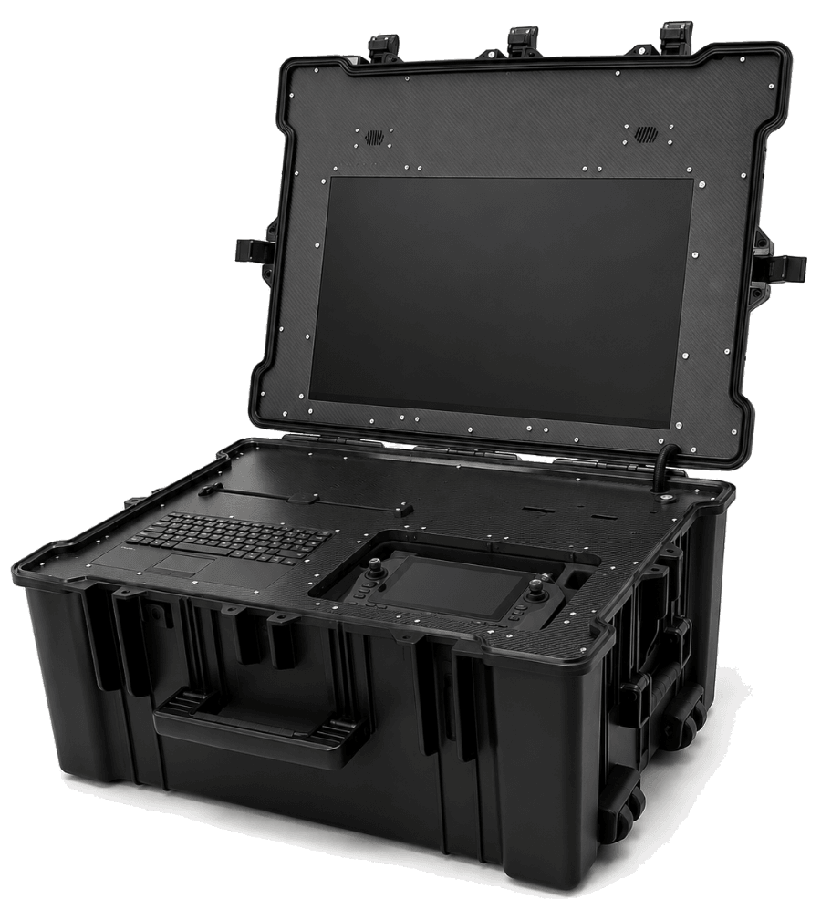
Mobile GCS (Ground Control Station)On-site planning, flight control, and video monitoring
FAQ
Frequently Asked Questions
Flight range may be limited by weather conditions. If conditions fall outside safety thresholds, the drone waits and automatically retries.
Ready to deploy PLUVERA?